
NYC snow forecast: How much fell, how much more to expect
How much snow fell, how much to expect: NYC Weather
FOX 5 NY’s Mike Woods is tracking the winter storm as NYC woke up to the first sizable accumulation in nearly two years! Here’s where the snow — and storm — are headed.
NEW YORK – NYC appears to have recorded more than 1 inch of snow in one day for the first time in nearly two years.
JUMP TO: LIVE RADAR | TRACK SCHOOL CLOSINGS | SNOW TOTALS SO FAR
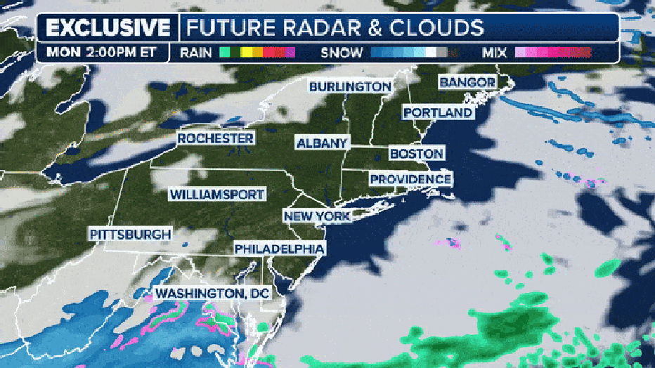
Light snow will continue to fall across the region but will change to a winter mix along the coast later in the morning, and ice may create hazardous conditions that will impact the post-holiday commute.

The National Weather Service issued winter weather alerts that stretch from NJ to Long Island, and schools announced delays and closings throughout.
New York City also issued a travel advisory, and Alternate Side Parking Regulations are suspended Tuesday. New Jersey has implemented a weather-related speed restriction on the Turnpike.
Timeline: When will NYC see snow?
The FOX Model snows snow for New York and Philadelphia but they are very close to the rain snow line. (FOX Weather)
Early Tuesday: Snow falls at about 0.5 inches per hour until 8 a.m., the NWS says.
9 a.m. Tuesday: New Yorkers could wake up to 1 to 2 inches of snow accumulation. Warmer air will be moving into our area – in the city, temperatures will rise to about 31. This means the snowfall is likely to mix with sleet and freezing drizzle from 9 a.m. to 4 p.m.. The snow, at this point, will be wet and heavy.
These conditions may also lead to icy roads and sidewalks, creating challenging travel as most people head back to work and school after the holiday weekend. Morning commuters could face hazardous conditions as visibility is reduced.

Snow is likely to remain powdery in northeastern New Jersey, the Lower Hudson Valley and the interior of Connecticut.
4 p.m. Tuesday: There is a slight chance of new snow developing into the evening. We won’t see much accumulation – only about 0.1 inch.
7 p.m. Tuesday: Winter weather advisories end. The snow will clear, but freezing temperatures will remain. Tuesday’s expected low is around 21 degrees.

Winter weather alerts in effect through Tuesday, Jan. 16, 2024. (FOX Weather)
According to the National Weather Service, New York City could see as much as 4 inches of snow, a projection that forecaster increased Monday evening.

This means the city could break its streak: NYC hasn’t seen at least an inch of snow in about two years. So far, New York City is 8.6 inches below average for snow this season.
Here are the expected snowfall totals throughout the region:
NYC and Long Island
- NYC: 3.6″
- JFK Airport: 3.1″
- Syosset: 3.2″
- Islip: 2.7″
- Westhampton: 2.5″
- Montauk: 2.1″
New Jersey
- Newark: 3.9″
- Paramus: 3.8″
- West Milford: 4.8″
Lower Hudson Valley
- White Plains: 3.7″
- New City: 3.9″
- Cold Spring: 4.4″
- Middletown: 4.3″
Connecticut
- Bridgeport: 3.7″
- Danbury: 3.6″
- New Haven: 3.5″
- Waterbury: 3.5″
- East Haddam: 3.0″
- Norwich: 2.6″
- New London: 2.6″
The rest of the week should see temperatures that struggle to make it out of the 30s.
According to the National Weather Service, there is a 10-30% chance of snowfall exceeding 3 inches Thursday night into Friday night.
“At this time this looks to be a prolonged light snow event, but more clarity is expected through midweek,” according to the agency.
Read More:NYC snow forecast: How much fell, how much more to expect